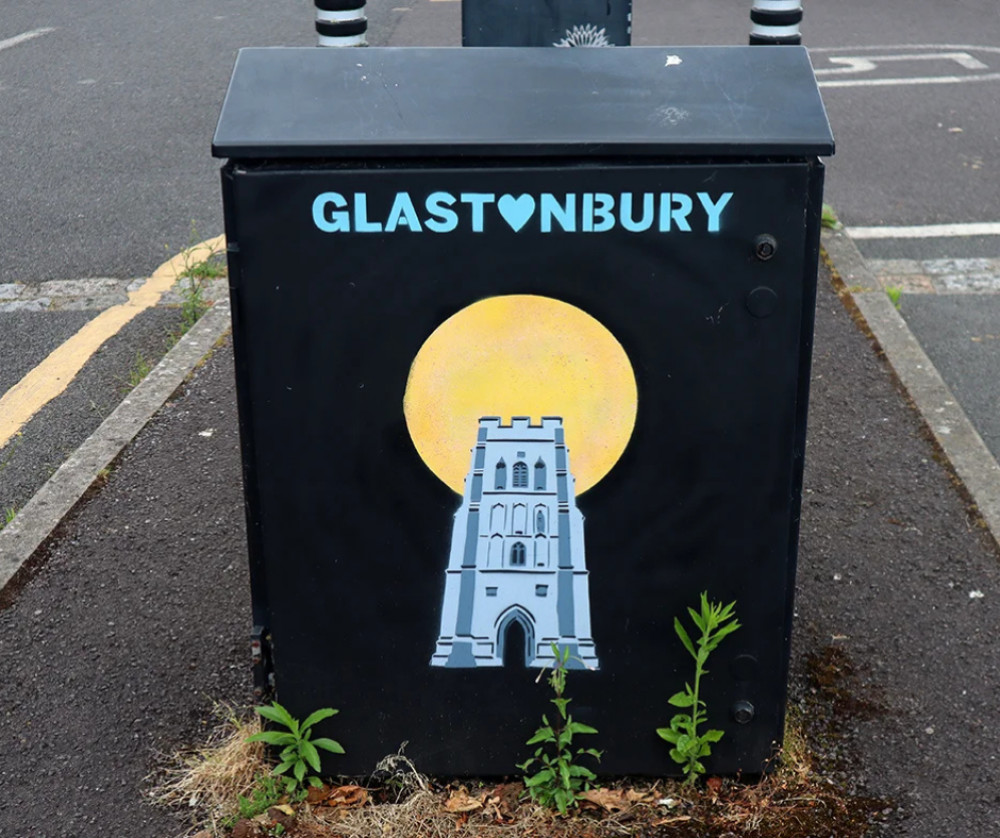
Glastonbury’s historic street names reveal tales of abbey life, local legends, and hidden history
By Laura Linham 30th Oct 2024


Glastonbury's streets hold centuries of history, with names that have evolved over time to reflect the town's unique past. Each street, lane, and alleyway tells a story, preserving Glastonbury's ties to the Abbey, its medieval trade routes, and the legends that make this Somerset town one-of-a-kind.
High Street and the Market Cross: From Great Street to town centre
High Street has always been the main route through Glastonbury, originally known as Great Street in the early 1300s and renamed High Street by 1366. This change reflected the road's central role, lined with shops and bustling with life. At its heart was the Cross, where Glastonbury's original Market Cross stood as a gathering place until it was removed in 1808. The current Market Cross was built in 1845, and the area later became known as Market Place – a name that speaks to its enduring role as a centre for trade and community.
Norbins Road: A street shaped by ecclesiastical roots
Once known as Church Lane, Norbins Road has a name that traces back to the late 12th century. When Bishop Savaricus granted the Church of St. John the Baptist of North Binne to the Abbey, the nearby lane became known as Northbinne Lane. Over time, this mouthful was shortened to Norbyns Lane by the time of Henry VIII, with the more recent update to Norbins Road reflecting a modernisation while holding onto the lane's Abbey connections.
Silver Street: Cart Lane and the 'wood' connection
Across from Norbyns Road lies Silver Street, a name that was almost lost to time when it became known as Cart Lane in recent years. According to local lore, the street was once filled with silversmiths during the Abbey's height. However, "Silver" is likely a nod to sylva – Latin for wood – marking the street as an area known for timber. Silver Street's name change back from Cart Lane reflects Glastonbury's desire to preserve its historic roots.
Lambrook's waterway and the evolution of Laundry Lane
Lambrook Street has always been connected to the small stream that flows down from Bushy Combe, but the street has seen many names over the years. Once called King Stream Street and, further east, Laundry Lane, the road reflects its changing role as a source of water for local laundries. Laundry Lane was referred to as Lauder Lane around 300 years ago and later as Landery Lane, with "Lambrook" itself taking on the name of the stream beneath the Market Place.
Chalice Well Street: A name steeped in legend
Today known as Chilkwell Street, Chalice Well Street has strong ties to the legendary Chalice Well and its sacred spring on Chalice Hill, as well as the nearby White Spring. This road was known as Chelkewell in the 1400s - referring to a place name meaning "chalk well" or "chalk spring." The road was renamed Chalicwell later on, this road has long been linked to the story of Joseph of Arimathea and the Holy Grail, said to be buried nearby, before eventually settling on Chilkwell.
Dod Lane and local folklore
Dod Lane in Glastonbury likely derives its name from the Old English word "dod," meaning "a rounded hill" or "a lump." This interpretation makes sense, as Dod Lane runs toward Bushy Combe and is positioned near elevated ground. In this context, "dod" would refer to the lane's path through or near rounded, hilly terrain. Though some believed it was named after Miss Lydia Dod, the street's muddy, quagmire-like state is thought to have inspired its name centuries before she lived there. Dod Lane has always been associated with eerie tales, including sightings of a headless man near Bushy Combe, believed to be a nod to Abbot Whiting, who was executed on nearby Chalice Hill.
Bere Lane: Remembering the Abbot's Barn
Bere Lane is often mistakenly linked to Abbot Richard Bere, but the name actually comes from the Old English word bere, meaning "barley." This was the route used to transport crops to the Abbot's Barn – now known as Barton – reflecting Glastonbury's agricultural past. Part of Bere Lane was also called Cowbridge Lane, leading to Butleigh and highlighting the town's old trade routes.
Benedict Street: From fords to streets
Benedict Street, formerly Maidlode Street, was named for the central ford or "lode" across the River Brue, known as the maid lode. This ford was replaced by St. Benedict's Bridge, and the name shifted over time to Madilode als Bennings in the 1600s, with St. Benignus eventually becoming Benedict. This transition from Maidlode to Benedict marks Glastonbury's move from riverside crossings to more formal streets as the town developed.
Bove Town and Jacob's Ladder: Paths to ancient sites
Extending east from High Street, Bove Town has held its name since the 1300s, though it briefly appeared as Button in the 1600s. Alongside it, Jacob's Ladder, a narrow path leading to the former St. James's Chapel, gained its name not from a local landowner as some believe, but from "Jacobus" – the Latin form of St. James. The path's name reflects its connection to this historic chapel and the spiritual routes taken by Glastonbury's residents.
These name changes provide a window into Glastonbury's evolution, from a monastic hub to a town shaped by trade, lore, and religious heritage. As modern Glastonbury grows, the stories within these street names continue to keep the town's unique history alive, preserving its connection to the past for generations to come.
CHECK OUT OUR Jobs Section HERE!
glastonbury vacancies updated hourly!
Click here to see more: glastonbury jobs
Share:


